The scent of clove and salt hangs in the air, a constant reminder of Saparua Island’s heritage as a vital waypoint in the spice trade. Here, the equatorial sun warms ancient stone and white sand alike, inviting contemplation of a history etched deep into the landscape and the rhythm of daily life.
Saparua Island: A Historical Anchor in the Lease Islands
Saparua Island serves as a compelling destination for those seeking to understand the intricate history of the Lease Islands within Maluku. Located directly east of Ambon Island, Saparua forms part of a small archipelago that has played a disproportionately large role in regional and global trade routes for centuries. The island’s coordinates, 3°34′30″S 128°38′49″E, pinpoint its position in the vast Indonesian seascape. With a land area of 168.1 km², which incorporates the smaller Maolana Island, Saparua offers a substantial yet manageable expanse for exploration. Its population, enumerated at 36,022 during the 2020 census and estimated at 34,480 in mid-2023, reflects a vibrant community maintaining strong cultural ties amidst a changing world. The main port, situated in the south at Kota Saparua, acts as the primary gateway for goods and people, connecting the island to the wider Maluku region. This port has historically facilitated the movement of spices, particularly cloves and nutmeg, which drew European powers to these distant shores. Understanding Saparua begins with appreciating its strategic location and the historical currents that have shaped its identity.
Fort Duurstede and the Pattimura Rebellion
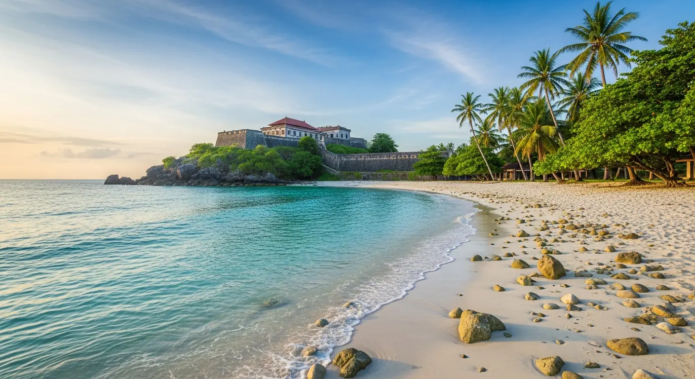
The most prominent historical landmark on Saparua Island is Fort Duurstede, a formidable structure that stands as a sign of the island’s turbulent past. Originally constructed by the Dutch East India Company (VOC) in the 17th century, the fort played a central role in colonial administration and defense. Its strategic position allowed control over access to the interior and surrounding waters. However, Fort Duurstede is perhaps best known as the focal point of the Pattimura rebellion of 1817. This uprising, led by Thomas Matulessy, known as Kapitan Pattimura, represented a significant challenge to Dutch authority in the Maluku Islands. The rebellion saw indigenous forces briefly reclaim the fort, a powerful symbol of resistance against colonial rule. Today, the ruins of Fort Duurstede offer visitors a tangible link to this pivotal moment in Indonesian history. Walking through its weathered walls, one can almost hear the echoes of past conflicts and appreciate the resilience of the local population. The fort’s elevation provides panoramic views of the surrounding coastline and the Banda Sea, a reminder of its strategic military importance.
Coastal Landscapes and Marine Biodiversity
Beyond its historical significance, Saparua Island presents a diverse array of natural attractions, particularly along its coastlines. The island’s geography, with its 168.1 km² land area including Maolana Island, encompasses varied coastal environments ranging from sandy beaches to rocky outcrops. These areas provide habitat for a range of marine life, making the waters surrounding Saparua appealing for underwater exploration. The main port at Kota Saparua, while a hub for transportation, also provides access to nearby coastal stretches. Visitors often find opportunities for snorkeling in the clear, warm waters that characterize this part of Maluku. The coral reefs, though impacted by past events, are slowly regenerating, supporting schools of tropical fish and other invertebrates. The Lease Islands, of which Saparua is a part, are positioned within the Coral Triangle, a global epicenter of marine biodiversity. Exploring the underwater world here offers insights into the delicate ecosystems that thrive beneath the surface. The island’s location at 3°34′30″S 128°38′49″E places it firmly within the equatorial zone, ensuring consistent water temperatures conducive to coral growth and marine activity throughout the year.
Connecting from Ambon: Access to Saparua
Access to Saparua Island from Ambon Island, the provincial capital of Maluku, is primarily facilitated by sea. Regular ferry services connect the main port at Kota Saparua to various points on Ambon, ensuring that the island remains accessible for both residents and visitors. These ferries operate on schedules that can vary, typically departing from Ambon’s major ports, such as Tulehu. The journey across the strait offers views of the Maluku archipelago, with other islands of the Lease group, like Haruku and Nusalaut, often visible in the distance. Travelers planning to visit Saparua, with its 2020 census population of 36,022 and mid-2023 estimate of 34,480, should consult current ferry timetables and ensure they allow ample time for travel, as sea conditions can sometimes influence departure and arrival times. The connection from Ambon is crucial for Saparua, linking its 168.1 km² land area, including Maolana Island, to broader regional infrastructure and supply chains. Understanding the logistics of this route is essential for any independent traveler planning to explore the Lease Islands and Banda from Ambon. This maritime link underlines Saparua’s integral role within the Central Maluku Regency.
The Lease Islands and Broader Maluku Exploration
Saparua Island is more than just a standalone destination; it is an integral part of the Lease Islands, a small but historically significant group within the Central Maluku Regency. For travelers exploring the wider Maluku region, Saparua offers a compelling stopover, particularly for those journeying between Ambon and the Banda Islands. The island’s location east of Ambon Island, at 3°34′30″S 128°38′49″E, positions it conveniently along established travel routes. The Lease Islands collectively share a rich history tied to the spice trade and colonial encounters, with each island contributing to the region’s unique cultural mosaic. Saparua’s land area of 168.1 km², including Maolana Island, provides sufficient scope for exploration, offering a distinct experience compared to the larger Ambon or the more remote Banda archipelago. The population, recorded at 36,022 in the 2020 census and estimated at 34,480 in mid-2023, reflects a thriving community that maintains its traditions while welcoming external engagement. Exploring Saparua provides a valuable prelude or postlude to visits to Banda, allowing for a deeper appreciation of Maluku’s diverse heritage and natural beauty. The main port in the south at Kota Saparua serves as a practical hub for onward journeys.
Saparua Island: A Destination for Heritage and Beach Travelers
Saparua Island caters to a specific type of traveler: one who appreciates both historical depth and natural beauty, particularly those exploring the Lease Islands and Banda from Ambon. The island’s blend of compelling history, embodied by Fort Duurstede and the legacy of the Pattimura rebellion, combined with opportunities for coastal recreation and snorkelling, creates a distinct appeal. With a land area of 168.1 km², including Maolana Island, there is ample space for both cultural immersion and relaxation. The 2020 census population of 36,022, and its official mid-2023 estimate of 34,480, contribute to a lively local culture that visitors can respectfully engage with. Saparua’s position east of Ambon Island, at 3°34′30″S 128°38′49″E, makes it geographically accessible yet distinct enough to offer a sense of discovery. The main port at Kota Saparua facilitates this access, providing a practical entry point. Whether delving into the narratives of colonial struggle or observing the vibrant marine life beneath the surface, Saparua offers substantial experiences for those seeking an authentic encounter with Maluku’s heritage and environment.
Learn more about Saparua Island’s geography and history on Wikipedia and Wikidata.
Saparua Island invites you to explore its unique blend of history, culture, and natural beauty. Plan your journey to the heart of the Lease Islands and discover an authentic Maluku experience at saparuaisland.com.